About
Matthew G. Miller
Field archaeologist. Portland, Oregon.
I have spent about four years doing professional cultural resources work supporting Section 106 compliance: pedestrian survey, shovel testing, site and isolate recordation, evaluation and testing, data recovery, total station mapping, collections assessment, flotation analysis, architectural documentation, photography and construction monitoring. Some of it as crew, more of it lately as field lead, running daily coverage, crew assignments and recordation quality on federal contracts.
Everything sold here came out of that work. The screen exists because carrying a heavy one to the last unit of the day is miserable and nobody was making a light one that folded flat. The arrows exist because a bad scale in a photograph costs a reshoot you cannot always go back and do.
I build the thing, take it back out, and change it until it stops being a problem. That is the only method here, and it is why everything is made to order rather than made in a batch and shipped off a shelf.
Where I have worked
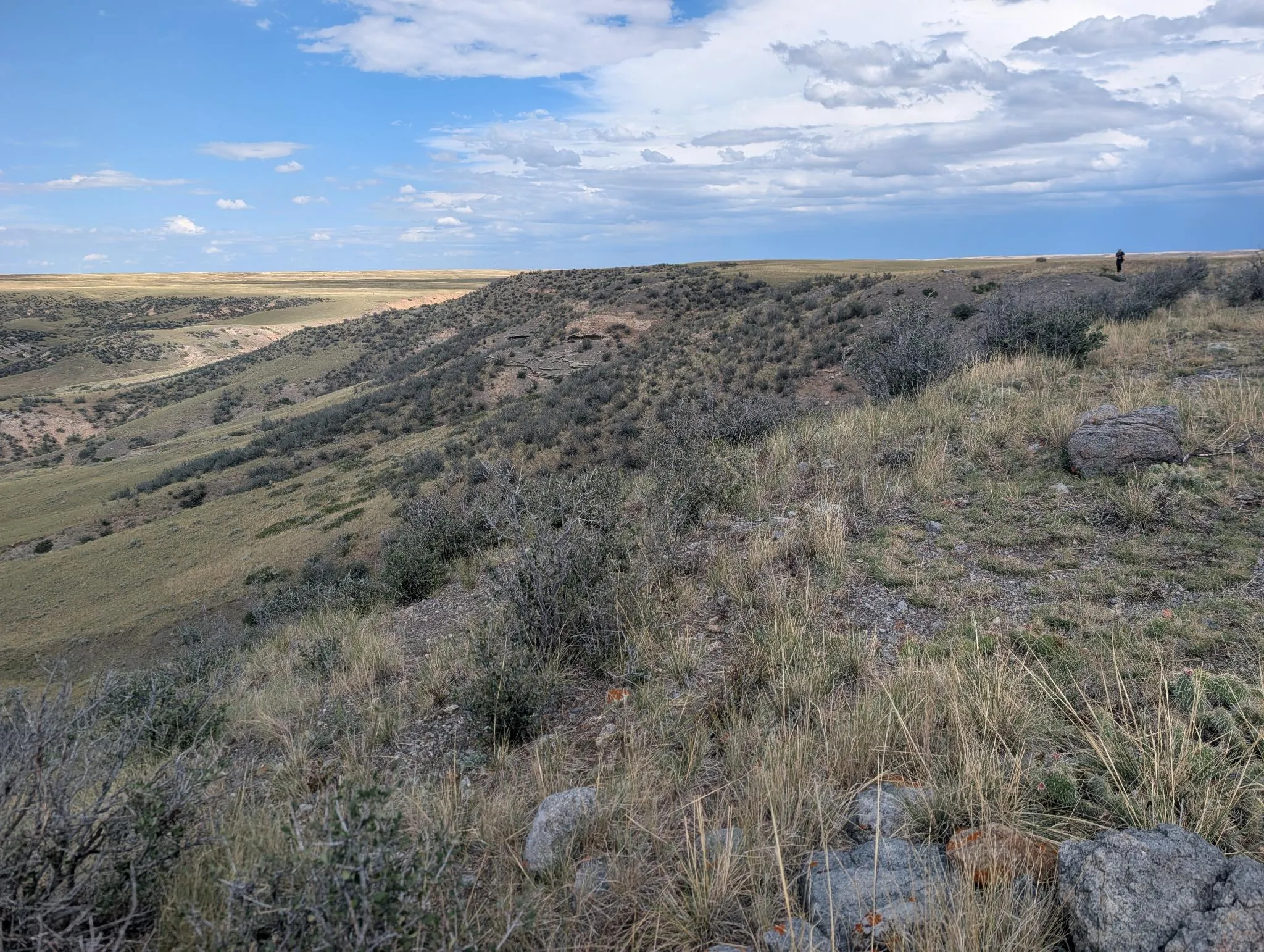
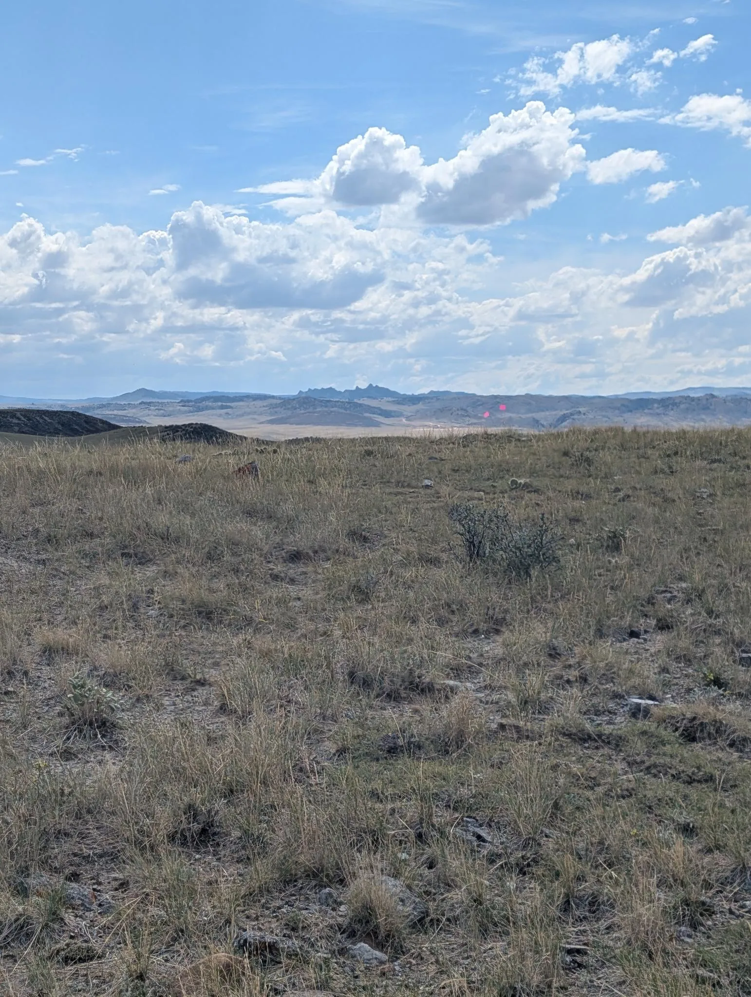
- Pacific Northwest
- Intermountain West
- Rocky Mountain West
- Northern Plains
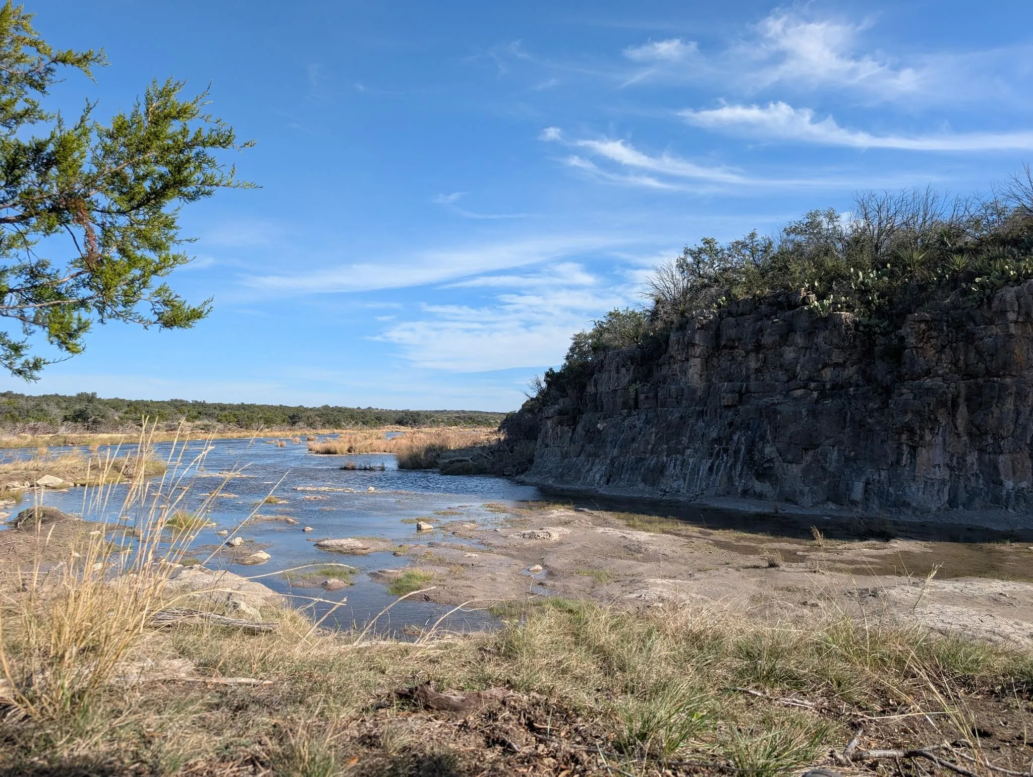
- Southwest
- Midwest
- Mid-South
- Texas
For federal and state agencies, and for renewable energy, transmission, oil and gas, mining and rail clients.
Agencies I have worked for
- USFS
- BLM
- NAVFAC
- U.S. Navy
- DOE
- FEMA
- Texas Historical Commission
- Washington Department of Fish and Wildlife
- Washington State Department of Social and Health Services
Education
- M.A., Hohai University, Nanjing
- B.A. Anthropology, Ohio University
- A.T.S. Archaeology, Hocking College
In the field
- Total station and data collector
- Sub-metre GNSS
- ESRI Field Maps and Survey123
- Documentation photography and photo logging